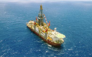
Petrobras to monitor Equatorial Margin using Nasa tech as of 2025

Brazilian state-controlled oil giant Petrobras will have yet another means of ensuring greater safety in oil exploration in the Equatorial Margin—the stretch comprising the states of Amapá, Pará, and Maranhão. The corporation has been accepted into the Early Adopters program of the Nasa-ISRO Synthetic Aperture Radar mission. The system is unprecedented in the collection of synthetic aperture radar images by satellite for Earth observation.

Engineer Fernando Pellon, senior consultant at the Petrobras Research, Development, and Innovation Center, explained that in flooded regions, mangroves are ecosystems that are extremely sensitive to oil spills, which is why the data from oil spill sensitivity maps are so vital.
“This mapping of the region where the mangroves may or may not be flooded, and when they are flooded, provides crucial information for carrying out an oil spill sensitivity study and for mapping the biota living there. These are two practical applications of Petrobras’ mission and objectives,” he said in an interview with Agência Brasil.
The project will be developed by the US space agency and the Indian Space Research Organization, and is scheduled to begin in 2025, when the Brazilian oil company will also use the images in its Environmental Geochemical Observatory of the Brazilian Equatorial Margin.
Petrobras will represent one of the 100 projects on the mission. The company’s aim is to monitor the marine and coastal environment in the three-state stretch of the Equatorial Margin, as well as updating the mapping of this coastline.
“This technology provides information about a particular target without physical contact with it. For example, you can remotely measure the temperature of the sea surface; you can remotely check whether a plant is green or water-deficient; you can identify the chemical and mineralogical constitution of a rock. All this is possible thanks to the electromagnetic radiation it receives from above the Earth,” he explained.
Climate change
The monitoring, he went on to say, should also make it possible to track climate change. “The satellite orbits 747km from Earth and will take images every six days of a specific point on the Earth’s surface. It will have almost continuous coverage of all immersed and ice-covered areas. It’s a really interesting mass of data, with details on biomass, natural disasters, sea level rise, and groundwater, and it will have two sensors, one from Nasa in the so-called L band and one from the Indians with a shorter wavelength in the S band,” he said.


